
Dsigngo is a Graphic Design and Digital Marketing Company.
Write what you are looking for and press enter to begin your search!

The East, Sri Lanka
Monaragala
A town most travellers pass through rather than stop for, yet one that sits at the crossroads of Sri Lanka’s cooler central highlands and its arid, wildlife-rich southeastern plains.
Monaragala’s own attractions are modest, but its position makes it genuinely valuable: the largest town in its district, sitting at a natural crossroads between the wet highlands of the central mountains and the dry, arid plains stretching toward Sri Lanka’s east coast.
Quick Facts
| Location | Southern Uva Province, on the Colombo-Batticaloa road |
| Elevation | About 151 metres |
| Historic region | Part of Wellassa, meaning ‘one hundred thousand paddies’ |
| District created | 1960, split administratively from Badulla District |
| Nearby attractions | Maligawila Buddha statue, Gal Oya and Yala National Parks |
| Local temple | Moneragala Rajamaha Viharaya (Mayuragiri Len Viharaya), a rock cave temple with murals |
Commonly searched as: Monaragala Sri Lanka · Monaragala Uva Province · Monaragala gateway town · things to do near Monaragala · Uva Province southeast
A Crossroads Town in a Historic Rice Region
Monaragala sits within what was historically known as the Wellassa region, a name meaning “one hundred thousand paddies,” reflecting the area’s long-standing agricultural identity centred on rice cultivation, alongside modern crops like tea and vegetables. That agricultural character persists today, with Monaragala serving as a genuine farming hub for the surrounding district even as its role as a transit and gateway town has grown alongside increasing tourism interest in the wider region’s national parks and archaeological sites.
Administratively, Monaragala District was carved out from the larger Badulla District in 1960, giving Uva Province its current two-district structure, Badulla covering the cooler highland north, Monaragala the warmer, drier lowland south. That geographic split reflects a genuine climatic and cultural divide within the province: Badulla’s landscape is shaped by tea estates and misty hill stations, while Monaragala’s terrain belongs more to Sri Lanka’s dry zone, sharing more in common with the plains stretching toward Yala and the east coast than with the Hill Country to its north.
A Practical Base for a Rewarding Region
Monaragala’s chief value for travellers lies in what surrounds it rather than what’s within the town itself. Dry-zone forest, ancient rock temples, and vast reservoirs all sit within reach, alongside the edges of both Yala and Gal Oya National Parks, and the monumental Maligawila Buddha statue, one of the tallest ancient standing Buddha figures anywhere in Sri Lanka, is easily reached from town. That concentration of early medieval Buddhist heritage, paired with genuine wilderness access, makes Monaragala District one of the country’s more rewarding, if genuinely less-visited, regions.
That combination of accessibility and relative obscurity is genuinely part of the appeal for travellers who make the effort to base themselves here. Compared to the more heavily trafficked Cultural Triangle or South Coast circuits, Monaragala District offers a slower, less curated experience of Sri Lanka’s ancient Buddhist heritage and dry-zone wildlife, one where sites like Maligawila can be visited without the crowds found at more famous equivalents like Aukana or Buduruwagala.
Moneragala Rajamaha Viharaya
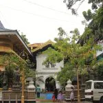
Close to the town itself sits the Moneragala Rajamaha Viharaya, also known as Mayuragiri Len Viharaya, a rock cave temple complex holding wall paintings and Buddha statues, offering a worthwhile stop for visitors even before venturing further out to the district’s more significant archaeological sites.
Visiting Tips
- Visit May to September for the driest, most comfortable conditions, which also coincide with the best safari conditions at Yala and Gal Oya.
- Use Monaragala as a practical base for reaching Maligawila, Gal Oya, and the western edges of Yala.
- Plan morning or late-afternoon activities, since midday heat can be intense throughout the year in this dry-zone town.
- Combine with a visit to nearby Buttala, another historically significant town along the same route, connected to King Dutugemunu’s 2nd-century BCE military campaign.
Where It Sits on the Map
Monaragala, Uva Province, Sri Lanka Open in Google Maps ↗
Frequently Asked Questions
Why do travellers pass through Monaragala?
It functions as a practical gateway town for exploring the Maligawila Buddha statue, Gal Oya National Park, and the western edges of Yala National Park.
What does the historic Wellassa region name mean?
‘One hundred thousand paddies,’ reflecting the area’s long agricultural history centred on rice cultivation.
When was Monaragala District created?
In 1960, when it was administratively split from the larger Badulla District, giving Uva Province its current two-district structure.
What can visitors see in Monaragala town itself?
The Moneragala Rajamaha Viharaya, a rock cave temple with wall paintings and Buddha statues, offering a worthwhile stop before heading further afield.
← Sri Lanka: The Complete Guide — see all 258 places by region
Related News
A guide to Sri Lanka's East Coast: Trincomalee, Batticaloa, Arugam Bay, wildlife parks, and the region's unique dry-season timing.
A guide to Trincomalee: one of the world's finest natural harbours, its ancient temple, colonial and WWII history, visiting tips and map.
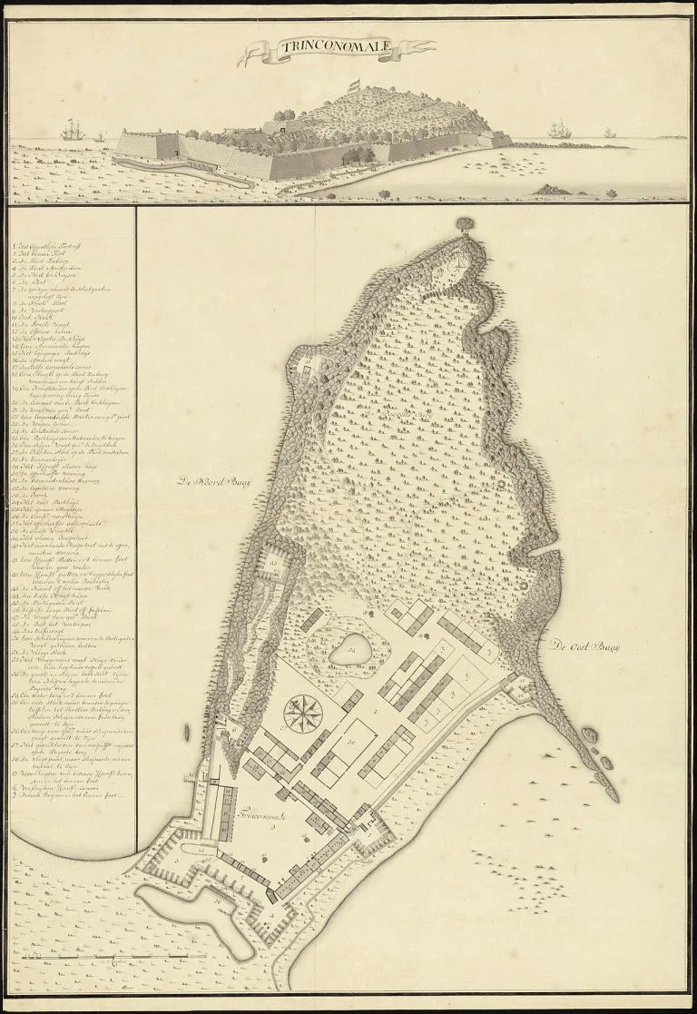
A guide to Fort Frederick in Trincomalee: built from a demolished temple's stones, still an active Sri Lankan military base, its resident deer, visiting tips...