
Dsigngo is a Graphic Design and Digital Marketing Company.
Write what you are looking for and press enter to begin your search!

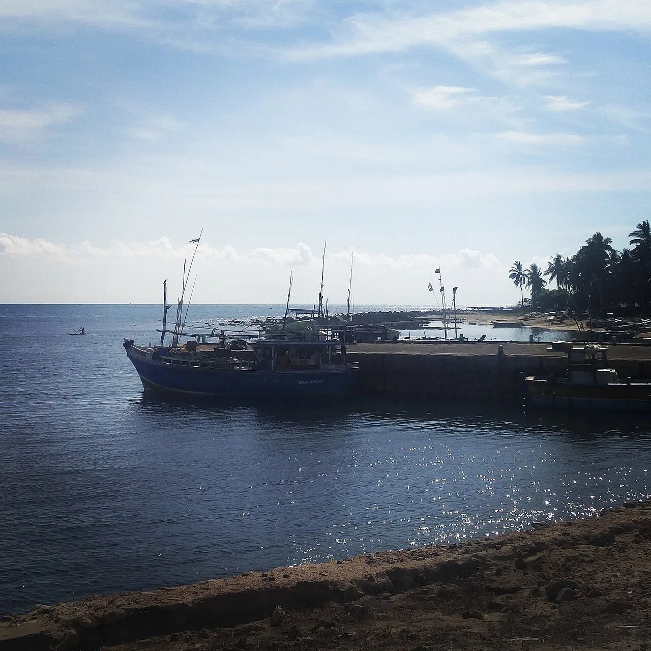
Jaffna Peninsula, The North
Point Pedro
A modest town with an outsized claim: standing at the very northernmost tip of Sri Lanka, marked today by a lighthouse and a simple concrete marker bearing the national flag.
Point Pedro doesn’t offer much in the way of conventional sightseeing, but its geography alone earns it a place on any thorough Jaffna Peninsula itinerary: this is quite literally the farthest north a traveller can stand on Sri Lankan soil.
Quick Facts
| Location | Northeastern tip of the Jaffna Peninsula |
| Also known as | Paruthithurai (Tamil), meaning roughly ‘cotton port’ |
| Population | About 31,000 (2011) |
| Local economy | Cotton cultivation in fertile red latosol soils |
| Civil war history | Under LTTE control briefly in the early 1990s, recaptured by government forces in 1995 |
| Notable landmarks | Point Pedro Lighthouse, Theru Moodi Madam rest house |
Commonly searched as: Point Pedro Sri Lanka · Point Pedro Lighthouse · northernmost point Sri Lanka · Paruthithurai · things to do in Point Pedro
The End of the Island, Marked Simply
Point Pedro’s claim to fame is entirely geographic: it marks the northernmost point of Sri Lanka, a fact commemorated modestly rather than dramatically, a simple concrete marker painted with the national flag sits along the road between Kankasanthurai and Valvedditturai, with a small tiled roof offering the marker some protection from the elements. For travellers who’ve made their way the full length of the country, standing at this specific point carries a genuine, if understated, sense of accomplishment.
The town’s Tamil name, Paruthithurai, translates roughly to “cotton port,” a direct reference to the area’s agricultural economy, cotton has long been cultivated in the fertile calcic red latosol soils surrounding the town, an unusual crop within the broader Sri Lankan agricultural landscape and a distinctive part of the peninsula’s economic identity.
A Traditional Rest House and a Working Lighthouse
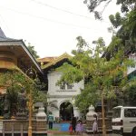
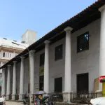
Point Pedro’s most notable built landmark is the Theru Moodi Madam, a traditional travellers’ rest house on the town’s east side, featuring a roofed stone archway with pillared shelters built directly across a road, a design historically important for sheltering pilgrims and traders passing through the area on longer journeys. A short distance further east, the Point Pedro Lighthouse marks the country’s actual northernmost tip; while photography is prohibited at the site, simply standing at the edge of Sri Lanka offers its own quiet, symbolic reward.
A Town Touched by Conflict
Like much of the Jaffna Peninsula, Point Pedro came under Tamil Tiger (LTTE) control briefly in the early 1990s, before Sri Lankan Army forces recaptured the town in 1995. The December 2004 tsunami also affected the area, raising the salt content of the region’s underground water table, itself an estimated one billion litres of fresh water sitting beneath the town’s porous soil, a detail underscoring just how significant the area’s freshwater resources are to local agriculture.
That combination, agricultural significance, wartime disruption, and now a slow return to ordinary civic life, mirrors the broader pattern found across much of the Jaffna Peninsula’s smaller towns, each carrying its own specific local history within the wider story of the region’s recovery.
Visiting Tips
- Visit the Theru Moodi Madam rest house for a genuine sense of the area’s traditional travel and pilgrimage infrastructure.
- Respect the photography restriction at the lighthouse and surrounding grounds.
- Combine with nearby Manalkadu Desert and Vallipuram, both within easy reach along the same coastal stretch.
- Treat the visit as a brief, symbolic stop rather than expecting extensive conventional sightseeing.
Where It Sits on the Map
Point Pedro, Jaffna District, Northern Province Open in Google Maps ↗
Frequently Asked Questions
Why is Point Pedro significant?
It marks the northernmost point of Sri Lanka, commemorated by a lighthouse and a simple roadside marker.
What does the Tamil name Paruthithurai mean?
Roughly ‘cotton port,’ referencing the area’s history of cotton cultivation in its fertile red latosol soils.
What is the Theru Moodi Madam?
A traditional stone travellers’ rest house on the town’s east side, historically used by pilgrims and traders passing through.
Can visitors photograph the lighthouse?
No, photography is prohibited at the lighthouse and its immediate surroundings.
← Sri Lanka: The Complete Guide — see all 258 places by region
Related News
A guide to Jaffna and Sri Lanka's Northern Province: a four-century Tamil kingdom, colonial layers, post-war recovery, visiting tips and map.
A guide to the Jaffna Peninsula: its temples, ancient sites, beaches and colonial heritage, spanning Jaffna city and its surrounding villages.
A guide to Jaffna city: capital of a 400-year Tamil kingdom, its library's destruction and rebirth, post-war recovery, visiting tips and map.