
Dsigngo is a Graphic Design and Digital Marketing Company.
Write what you are looking for and press enter to begin your search!

Jaffna and The North, Sri Lanka
Mannar Island
Somewhere between 700 and 800 years ago, Arab traders planted African baobab trees on this remote island, and more than 30 of them still stand today, genuinely ancient witnesses to a pearl trade that once supplied royalty across the known world.
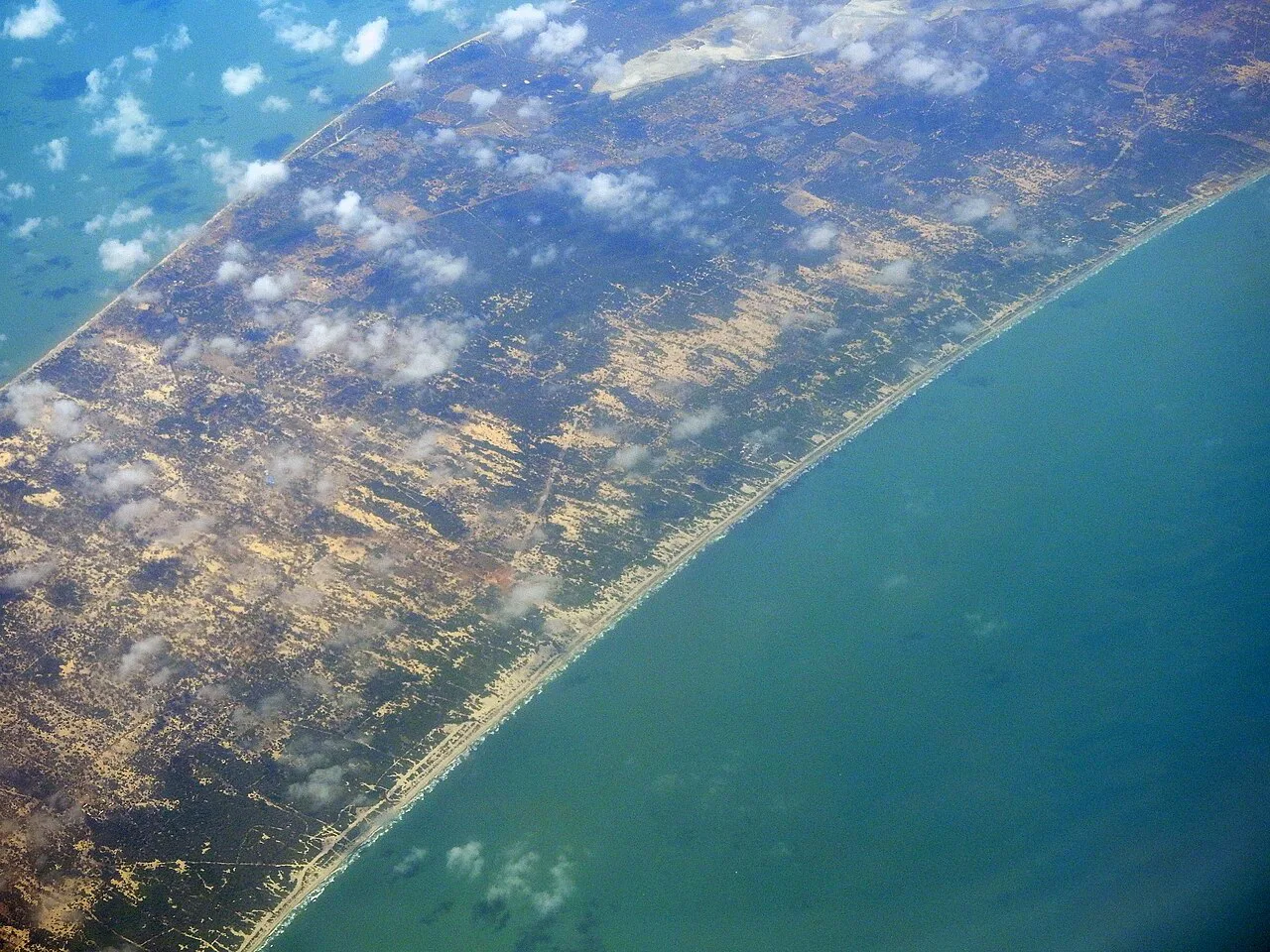
Mannar Island juts out into the Palk Strait like a claw pointing toward India, its dry, windswept terrain concealing a history stretching back over two millennia, from a legendary pearl fishery that once supplied courts across the ancient world to a natural land bridge woven into both Hindu and Islamic sacred tradition.
Quick Facts
| Location | Northwestern Sri Lanka, connected to the mainland by causeway |
| Historical names | Manthei, Mathota, Mahathiththa, among others |
| Fort built | 1560, by the Portuguese; captured by the Dutch 1658, rebuilt 1696 |
| Pearl fishery | Documented for over 2,000 years, supplying pearls to royalty worldwide |
| Baobab trees | 30+ ancient specimens, believed planted by Arab traders roughly 700-800 years ago |
| Adam’s Bridge | A 30 km chain of limestone shoals toward Rameswaram, India |
Commonly searched as: Mannar Island Sri Lanka · Mannar baobab tree · Mannar Fort · Adam’s Bridge Sri Lanka · things to do in Mannar
A Port That Supplied the World’s Royalty
Long before European powers ever set eyes on Mannar, the island’s surrounding waters, the Gulf of Mannar, ranked among the greatest pearl banks anywhere on Earth, supplying vast quantities of pearls to royalty across multiple continents for well over two thousand years. Greek navigational maps from as early as the 2nd century document the sea routes leading to this pearl-rich region, and Arab traders were harvesting and trading Mannar’s pearls long before Portuguese ships ever arrived. That pearl wealth eventually drew the Portuguese, who dispatched a small naval force in 1513 to seize control of the fishery, a conquest that required confronting both the Jaffna kingdom and its allies, and which set in motion a chain of colonial and religious conflict that would reshape the entire region.
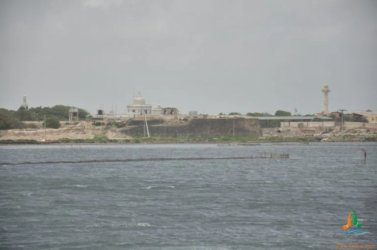
The Portuguese formally built Mannar Fort in 1560, a four-sided structure with prominent bastions positioned at the point where the island connects to the mainland. The Dutch captured it after naval bombardment on 22 February 1658, substantially rebuilding it by 1696, before finally surrendering to the British on 5 October 1795. Occupants of the island continued paying royalty to the Sri Lankan king for their pearl harvest even under colonial administration, a detail underscoring just how deeply Mannar’s economy remained tied to its pearl trade across successive changes in political control. Overharvesting eventually destroyed the industry entirely, ending a commercial tradition that had sustained the island for two millennia.
Trees Older Than Any Colonial Power
Mannar’s more than 30 surviving baobab trees, a species entirely native to Africa and Madagascar, are believed to have been planted by Arab traders visiting the island roughly 700 to 800 years ago, making them genuinely ancient living monuments predating Portuguese arrival by centuries. The largest specimen, in Pallimunai village, stands roughly 7.5 metres tall with a girth measuring an extraordinary 19.51 metres, formally protected as an archaeological monument since 1955. Locally known as “Aliya-gaha,” or elephant tree, in Sinhala, these baobabs represent one of the largest concentrations of the species found anywhere in South Asia.
Adam’s Bridge, or Rama’s Setu
From Mannar’s westernmost point at Talaimannar, a chain of limestone shoals and sandbanks stretches roughly 30 to 48 kilometres toward Rameswaram in India, known as Adam’s Bridge or, in Hindu tradition, Rama Setu. Geologically believed to represent a former land connection, passable on foot until storms breached it in the 15th century, the bridge carries deep religious significance for both Hindus, who believe it was built by Rama’s monkey army in the Ramayana, and Muslims, who associate it with Adam’s own crossing after being cast down from Paradise.
Visiting Tips
- Visit the Portuguese-Dutch fort and the Pallimunai baobab tree together, both easily reached within the main town.
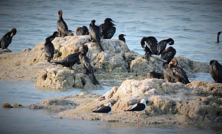
- Explore Vankalai Bird Sanctuary for migratory birdlife, particularly rewarding between December and April.
- Look for wild horses roaming the wetlands west of Mannar city, one of only two places in Sri Lanka (alongside Delft Island) to see them.
- Combine with a visit to the Shrine of Our Lady of Madhu, a major interdenominational pilgrimage site about 50 km southeast.
Where It Sits on the Map
Mannar Island, Northwestern Sri Lanka Open in Google Maps ↗
Frequently Asked Questions
Why was Mannar historically significant?
Its surrounding waters formed one of the world’s great pearl fisheries, supplying pearls to royalty across the ancient world for over two thousand years, drawing Arab traders and later Portuguese, Dutch and British colonial powers.
How old are Mannar’s baobab trees?
Believed to be roughly 700 to 800 years old, planted by Arab traders visiting the island, making them among the oldest living things in Sri Lanka.
What is Adam’s Bridge?
A roughly 30 to 48 km chain of limestone shoals stretching from Mannar toward Rameswaram in India, believed to be a former land connection and considered sacred in both Hindu and Islamic tradition.
Can visitors see wild horses on Mannar Island?
Yes, in the wetlands west of Mannar city, one of only two locations in Sri Lanka (along with Delft Island) where feral horses can be observed.
← Sri Lanka: The Complete Guide — see all 258 places by region
Related News
A guide to Jaffna and Sri Lanka's Northern Province: a four-century Tamil kingdom, colonial layers, post-war recovery, visiting tips and map.
A guide to the Jaffna Peninsula: its temples, ancient sites, beaches and colonial heritage, spanning Jaffna city and its surrounding villages.
A guide to Jaffna city: capital of a 400-year Tamil kingdom, its library's destruction and rebirth, post-war recovery, visiting tips and map.