
Dsigngo is a Graphic Design and Digital Marketing Company.
Write what you are looking for and press enter to begin your search!

Hill Country, Sri Lanka
Knuckles Range
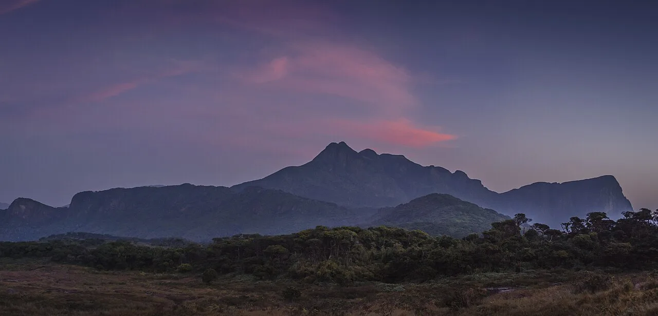
Named by British surveyors for its resemblance to a clenched fist, this mountain range occupies just 0.03% of Sri Lanka’s land area yet holds an outsized share of the country’s endemic plants and animals.
From the right vantage point near Kandy, the Knuckles Mountain Range genuinely resembles a clenched fist pressed against the horizon, five main peaks rising like knuckles above the surrounding hills, a resemblance British colonial surveyors noticed and named accordingly.
Quick Facts
| Location | Kandy and Matale Districts, about 25 to 35 km northeast of Kandy |
| Sinhala name | Dumbara Kanduvetiya (‘mist-laden mountain range’) |
| Size | About 18,500 hectares (155 km²) |
| Peaks | Over 34, with Gombaniya (1,906 m) the highest |
| UNESCO status | Part of the Central Highlands World Heritage Site, since 2010 |
| Endemic plant coverage | Over 34% of Sri Lanka’s endemic trees, shrubs and herbs found only here |
Commonly searched as: Knuckles Mountain Range · Knuckles Sri Lanka hiking · Dumbara Kanduvetiya · Sri Lanka biodiversity hotspot · things to do near Kandy
Named for Its Silhouette
The Knuckles Range takes its widely used English name from an observation made by British surveyors during the colonial era, who noted that the range’s series of prominent recumbent folds and peaks, viewed from certain angles, closely resembled the knuckles of a clenched fist. Locally, the range is known as Dumbara Kanduvetiya, “mist-laden mountain range,” a name that speaks to the near-constant cloud cover draping its higher elevations. Older Sinhala names for the area, including Giri Divaina and Malaya Rata, and archaeological evidence pointing to an ancient Yaksha settlement, suggest the range has held human significance for a very long time, well before its more recent English name took hold.
An Astonishing Concentration of Biodiversity
What makes Knuckles genuinely remarkable isn’t its size, at roughly 18,500 hectares it constitutes barely 0.03% of Sri Lanka’s total land area, but its ecological density. Isolated from the island’s central highland massif by the Dumbara Valley, the range has developed as a kind of self-contained climatic microcosm, its varied elevations and rainfall patterns supporting montane cloud forest, tropical rainforest, riverine forest, and unique grassland ecosystems called Pitawala Patana, sometimes all within a single day’s hike. That isolation has produced relict, endemic species found nowhere else on the island: more than 34% of Sri Lanka’s endemic trees, shrubs and herbs grow exclusively within these forests, and surveys have recorded 64% of the range’s amphibians and 51% of its reptiles as endemic to Sri Lanka.
Ongoing field research continues to turn up genuinely new discoveries here. Scientists working in the range have identified previously unknown amphibian species, including one of the smallest amphibians recorded in the country, and a newly described snake species named Aspidura ravanai, Ravana’s rough-sided snake, a fresh scientific find tying directly back into the region’s older Ramayana-linked folklore.
Wildlife and Waterfalls
Beyond its endemic flora, the range supports leopards, purple-faced langurs, elephants, sambar, wild boar, and giant squirrels, alongside a genuinely diverse birdlife. Numerous waterfalls dot the terrain, including the popular Duwili Ella, a natural infinity-pool-like cascade that has become a favourite stop for hikers exploring the range’s varied trail network.
Visiting Tips
- Hire a licensed local guide, given the range’s varied terrain, changeable weather, and limited official signage on many trails.
- Pack for multiple climate zones in a single day, conditions can shift from humid rainforest to cool, misty cloud forest as elevation increases.
- Visit during the drier months for the most comfortable hiking conditions and clearest views.
- Combine with a stay at one of the small eco-lodges or homestays in villages bordering the reserve for a fuller immersion in the area.
A Living Laboratory
Knuckles functions less like a conventional tourist attraction and more like an active research site that happens to welcome visitors. New species discoveries here aren’t historical footnotes, they’re an ongoing process, with researchers regularly adding to the range’s already extensive catalogue of endemic life. That living, still-unfolding scientific significance gives a hike through Knuckles a different character from many of Sri Lanka’s more thoroughly documented natural attractions: there’s a genuine, if small, chance that something encountered along a remote trail hasn’t yet been formally described by science at all, a rare quality for any accessible hiking destination anywhere in the world.
Where It Sits on the Map
Knuckles Mountain Range, Kandy/Matale Districts Open in Google Maps ↗
Frequently Asked Questions
Why is it called the Knuckles Range?
British colonial surveyors noted that its series of peaks and folds, viewed from certain angles, resemble the knuckles of a clenched fist.
Why is Knuckles considered such an important biodiversity hotspot?
Despite covering only about 0.03% of Sri Lanka’s land area, it holds over 34% of the country’s endemic trees, shrubs and herbs, along with high proportions of endemic amphibians and reptiles.
Is Knuckles a UNESCO World Heritage Site?
Yes, as part of the wider Central Highlands of Sri Lanka World Heritage Site, inscribed in 2010.
What wildlife might visitors see in Knuckles?
Leopards, purple-faced langurs, elephants, sambar deer, wild boar, giant squirrels, and numerous endemic amphibian and reptile species, alongside diverse birdlife.
← Sri Lanka: The Complete Guide — see all 258 places by region
Related News
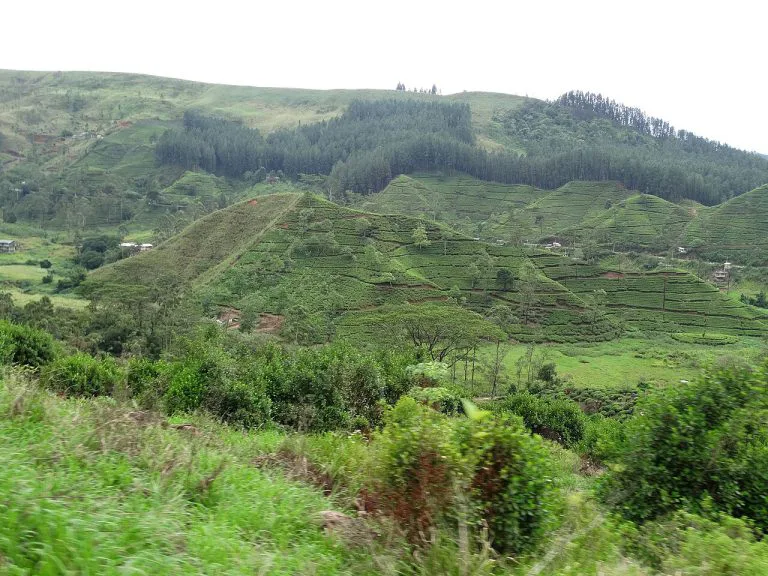
A guide to Sri Lanka's Hill Country: Kandy, tea plantations, Ella, Adam's Peak, Horton Plains, and travel tips.
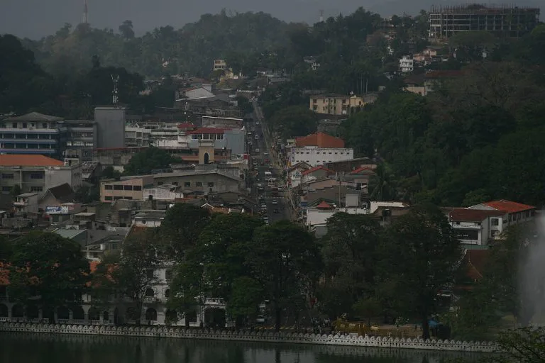
A complete guide to Kandy: the last Sinhalese kingdom's fall in 1815, the Temple of the Tooth, Kandy Lake, and visiting tips.
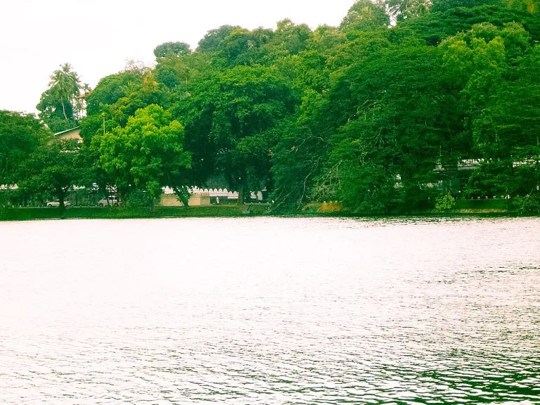
A guide to Kandy Lake, built by the last king of Kandy in 1807: its dark construction history, the island retreat, walking the shore, and...