
Dsigngo is a Graphic Design and Digital Marketing Company.
Write what you are looking for and press enter to begin your search!

Jaffna Islands, The North
Kayts
Sri Lankan elephants once left this exact spot bound for India, and the island’s very name, a garbled descendant of the Portuguese ‘Caes dos Elefantes,’ or elephant’s mouth, still carries that trade in its syllables today.
Kayts’ unassuming name hides a genuinely evocative history: derived from the Portuguese phrase Caes dos Elefantes, or ‘elephant’s mouth,’ a direct reference to the island’s former role as a port from which Sri Lankan elephants were exported to India.
Quick Facts
| Location | Largest of the Jaffna Islands, connected to the mainland by causeway |
| Also known as | Uruthirapuram |
| Name origin | Portuguese ‘Caes dos Elefantes’ (elephant’s mouth), later shortened to Cais, then Kays, then Kayts |
| Historic fort | Built by the Portuguese in 1629, abandoned by 1651 |
| Colonial role | Strategic outpost during Portuguese, Dutch and British rule |
| Modern role | Gateway to Punkudutivu, Nainativu and the wider island chain |
Commonly searched as: Kayts Island Jaffna · Kayts Fort · Uruthirapuram · Jaffna Islands gateway · things to do in Jaffna Islands
Named for a Trade That No Longer Exists
Kayts’ name traces a genuinely winding linguistic path: the Portuguese, who first fortified the island in the 17th century, called it Caes dos Elefantes, “elephant’s mouth” or “elephant’s quay,” a direct reference to the island’s function as an export point for Sri Lankan elephants shipped to India. Over successive generations of colonial administration, that name shortened first to Cais, then, under the Dutch, evolved into Kays, before finally settling into the modern spelling, Kayts. That trade itself has long since vanished, but the island’s name remains a quiet linguistic fossil of a genuinely significant historical commercial practice.
A Fort Built, Then Quietly Forgotten
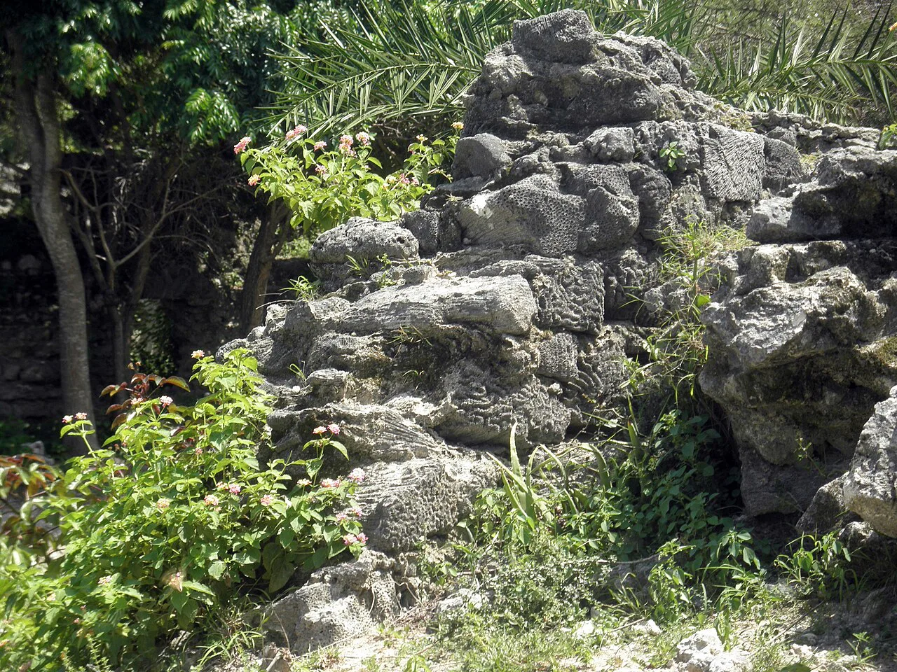
The Portuguese constructed a fort at Kayts in 1629, funded by Miguel Pereira de Sampaio to offset a royal land donation on neighbouring Karaitivu Island, part of a broader effort to fortify Ceylon’s coastline and consolidate Portuguese control against both the interior Kingdom of Kandy and rival European powers. Portuguese chronicler Antonio Bocarro documented the fort in 1635, describing it as comparable in size to the Mannar Fort but superior in design, a horseshoe-shaped structure with two landward bastions and a seaward breastwork.
That fort’s active military life proved brief. When the Dutch captured Jaffna in 1658, the fort at Kayts was formally surrendered, but rather than reconstruct or maintain it, the Dutch left it to decline, likely because the nearby Hammenhiel Fort on Karaitivu already fulfilled the region’s strategic defensive needs. By 1832, an observer writing under the pseudonym PENN described the fort as already in ruins, and today it survives only as modest, largely unmarked remains along the shoreline near the village of Velanai, visited mainly by travellers with time to spare after covering the region’s more prominent sights.
A Practical Gateway
For most contemporary visitors, Kayts serves primarily as a transit point, the largest of the Jaffna Islands and the first link in the causeway chain connecting Jaffna town to Punkudutivu and, from there, the boat services reaching Nainativu and Delft further out. That functional role means many travellers pass through quickly, though Kayts’ own fishing villages and quiet coastal roads reward those willing to slow down.
Visiting Tips
- Look for the fort ruins near Velanai village, genuinely modest and unmarked, worth a visit only if time allows.
- Take the short ferry crossing to see Fort Hammenhiel on neighbouring Karaitivu, visible from the Kayts shoreline.
- Combine with Punkudutivu and, from there, boat connections to Nainativu or Delft.
- Bring water and snacks, since facilities remain limited outside the main village areas.
Where It Sits on the Map
Kayts (Uruthirapuram), Jaffna Islands Open in Google Maps ↗
Frequently Asked Questions
Where does the name Kayts come from?
From the Portuguese phrase ‘Caes dos Elefantes’ (elephant’s mouth), referencing the island’s historic role exporting Sri Lankan elephants to India, later shortened through Dutch-era usage into ‘Kayts.’
What happened to the Kayts fort?
Built by the Portuguese in 1629, it was surrendered to the Dutch in 1658, who chose not to maintain it, likely due to the nearby Hammenhiel Fort fulfilling the same strategic role; it was already in ruins by 1832.
Why do most visitors pass through Kayts?
It’s the largest of the Jaffna Islands and the first link in the causeway chain connecting Jaffna town to Punkudutivu and the boat services reaching Nainativu and Delft.
Is Kayts worth visiting beyond its transit role?
Yes, for travellers with time, its quiet fishing villages and modest fort ruins offer a genuine, unhurried slice of island life.
← Sri Lanka: The Complete Guide — see all 258 places by region
Related News
A guide to Jaffna and Sri Lanka's Northern Province: a four-century Tamil kingdom, colonial layers, post-war recovery, visiting tips and map.
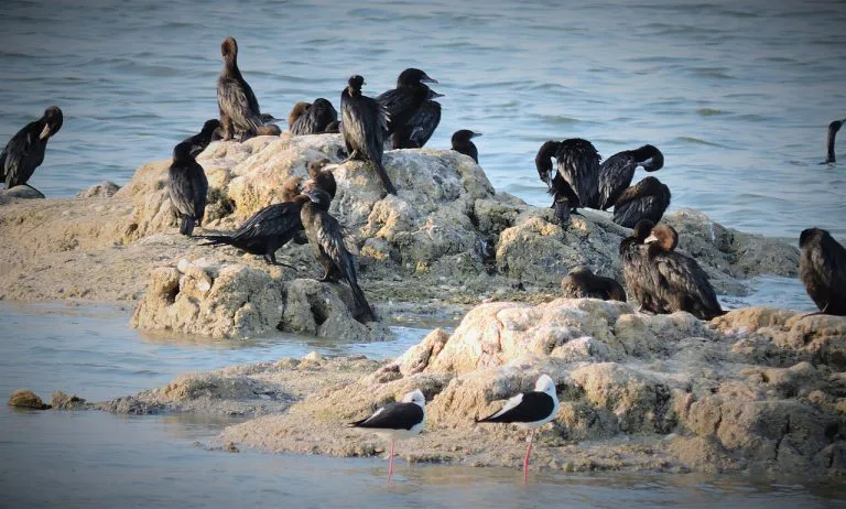
A guide to the Jaffna Peninsula: its temples, ancient sites, beaches and colonial heritage, spanning Jaffna city and its surrounding villages.
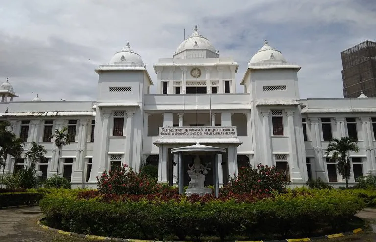
A guide to Jaffna city: capital of a 400-year Tamil kingdom, its library's destruction and rebirth, post-war recovery, visiting tips and map.