
Dsigngo is a Graphic Design and Digital Marketing Company.
Write what you are looking for and press enter to begin your search!

Hill Country, Sri Lanka
Horton Plains National Park and World’s End
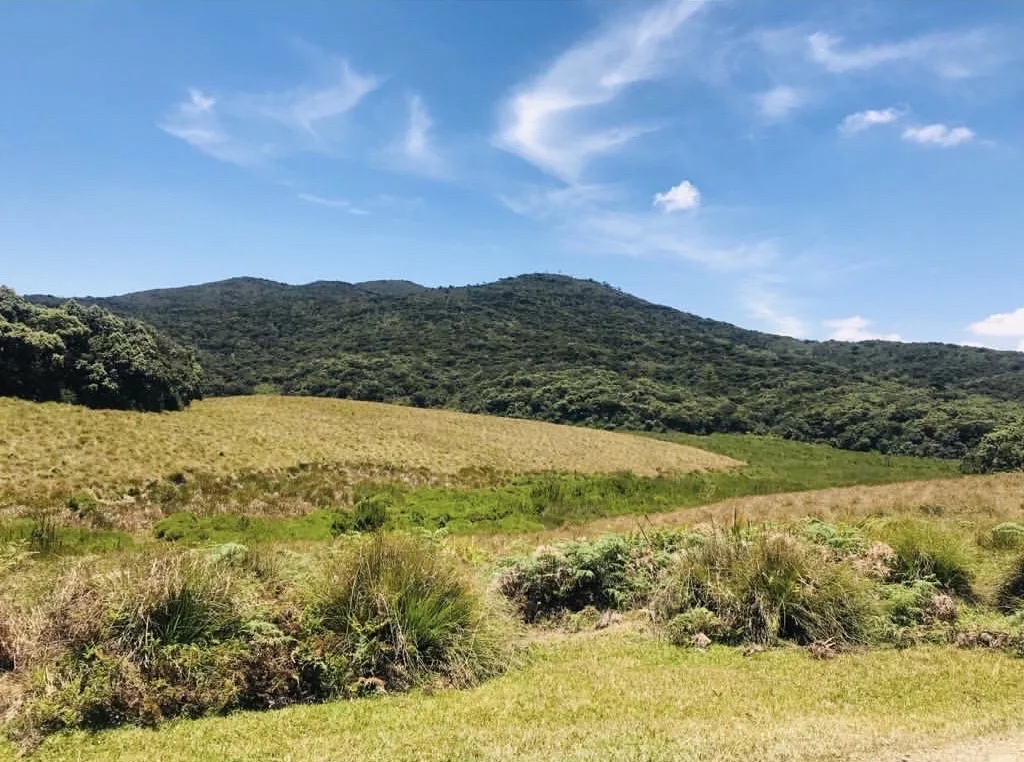
A highland plateau sitting on rock over two billion years old, where a Ramayana legend says Sita was once hidden, and where an 880-metre cliff drops so suddenly that arriving even an hour too late means missing the view entirely.
Horton Plains rewards early risers and punishes latecomers in equal measure. Arrive after about 9 am and the clouds that roll in daily will have already swallowed the view from World’s End, the 880-metre cliff that gives this highland plateau its dramatic name and its main reason for fame.
Quick Facts
| Location | Central Highlands, near Nuwara Eliya |
| Original Sinhala name | Maha Eliya Thenna (‘greatly illuminated land’) |
| Named after | Sir Robert Wilmot-Horton, British Governor of Ceylon (1831 to 1837) |
| Sanctuary declared | 5 December 1969, national park status 18 March 1988 |
| UNESCO status | Part of the Central Highlands World Heritage Site, 2010 |
| World’s End cliff drop | About 880 metres |
Commonly searched as: Horton Plains National Park · World’s End Sri Lanka · Baker’s Falls hike · Sri Lanka highland hiking · things to do near Nuwara Eliya
Ground Older Than Almost Anything on Earth
The plateau’s underlying rock, Precambrian gneisses and granulites, is more than two billion years old, among the oldest exposed rock anywhere in South Asia. Tectonic uplift followed by millions of years of erosion shaped the landscape visitors see today: rolling montane grassland punctuated by rocky outcrops and patches of stunted cloud forest, sitting at an elevation between roughly 2,100 and 2,300 metres. Within the park stand Kirigalpotta (2,389 m) and Totupola Kanda (2,357 m), Sri Lanka’s second and third highest peaks respectively, both overshadowed in height only by nearby Pidurutalagala, which sits off-limits to the public due to a communications facility on its summit.
The plateau’s most famous feature, World’s End, formed through differential erosion along a fault line separating the harder plateau rock from softer formations in the lowlands below, producing an abrupt, near-vertical cliff face. On a clear morning, the view extends across the southern lowlands to the Indian Ocean, some 80 km distant, a genuinely startling sense of scale for a spot reached after just a few hours’ walk. A smaller companion cliff, “Mini World’s End,” with a roughly 270-metre drop, sits along the same trail.
A Landscape Steeped in Legend and Blood Sport
Long before British colonists arrived, the plains were known as Maha Eliya Thenna, “greatly illuminated land,” and stone tools linked to the prehistoric Balangoda culture have been recovered from across the plateau, evidence of a human presence here stretching back many thousands of years. Local Ramayana-linked legend adds a further layer of story: this is said to be where the demon king Ravana hid Princess Sita, and where Hanuman’s monkey army later set the plain ablaze during the campaign to free her, an event some tellings credit for the plain’s original name.
The colonial chapter of the plains’ history is considerably less mythic and more brutal. British planter Thomas Farr first recorded the area in the early 19th century, and the plateau was later renamed after Sir Robert Wilmot-Horton, Governor of Ceylon from 1831 to 1837. Between 1831 and 1948, the plains functioned as a hunting ground, primarily for sambar deer, though elephants and wild boar were also hunted, and the highland elephant population was hunted to complete local extinction during this period. The present-day visitor centre, Farr Inn, occupies the site of what was originally a British hunting lodge.
An Ecosystem Under Genuine Strain
Horton Plains functions as one of Sri Lanka’s most critical watersheds, feeding the headwaters of the Mahaweli, Kelani and Walawe rivers, on which millions of downstream Sri Lankans depend for drinking water, irrigation and hydroelectric power. That ecological importance sits alongside real, ongoing threats: roughly 30% of the upper forest canopy is affected by a phenomenon called “forest die-back,” whose causes remain only partially understood, while invasive species, including carpet grass introduced during colonial-era potato farming, gorse, lantana and pine, continue to spread across the plains. Rising visitor numbers, sometimes hundreds of hikers a day to World’s End during peak season, have added erosion and wildlife disturbance to that list of pressures.
Visiting Tips
- Arrive as early as possible, ideally before 7 am, to reach World’s End before mist rolls in, usually by around 9 am.
- The standard circuit walk passes Baker’s Falls and both World’s End viewpoints; allow 3 to 4 hours at an easy pace.
- It’s one of the only Sri Lankan national parks where hiking without a mandatory ranger is permitted, though strict rules on plastics and littering apply.
- Pack warm layers; temperatures here are noticeably cooler than the rest of Sri Lanka, often between 10 and 15°C.
Where It Sits on the Map
Horton Plains National Park and World’s End, Central Highlands Open in Google Maps ↗
Frequently Asked Questions
Why must visitors arrive early at World’s End?
Mist typically rolls in and obscures the view by around 9 am, so early arrival, ideally before 7 am, is essential to see the cliff’s full panorama.
How deep is the World’s End cliff drop?
About 880 metres, formed through differential erosion along a geological fault line.
What was Horton Plains historically used for?
It was a British colonial hunting ground from 1831 to 1948, primarily for sambar deer, and is linked in local legend to the Ramayana story of Sita’s captivity.
Is Horton Plains a UNESCO World Heritage Site?
Yes, as part of the wider Central Highlands of Sri Lanka World Heritage Site, inscribed in 2010.
← Sri Lanka: The Complete Guide — see all 258 places by region
Related News
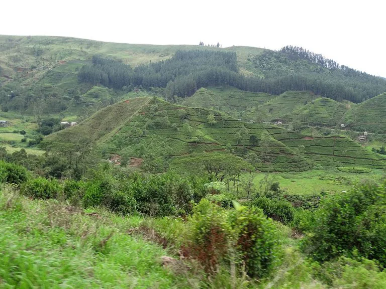
A guide to Sri Lanka's Hill Country: Kandy, tea plantations, Ella, Adam's Peak, Horton Plains, and travel tips.
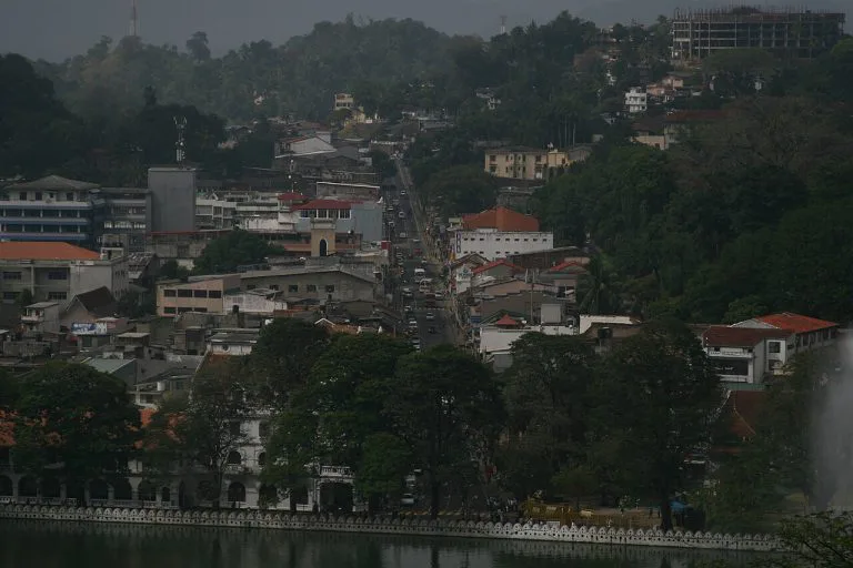
A complete guide to Kandy: the last Sinhalese kingdom's fall in 1815, the Temple of the Tooth, Kandy Lake, and visiting tips.
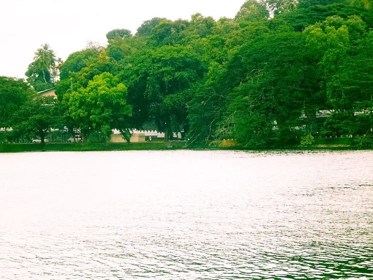
A guide to Kandy Lake, built by the last king of Kandy in 1807: its dark construction history, the island retreat, walking the shore, and...