

Dsigngo is a Graphic Design and Digital Marketing Company.
Write what you are looking for and press enter to begin your search!

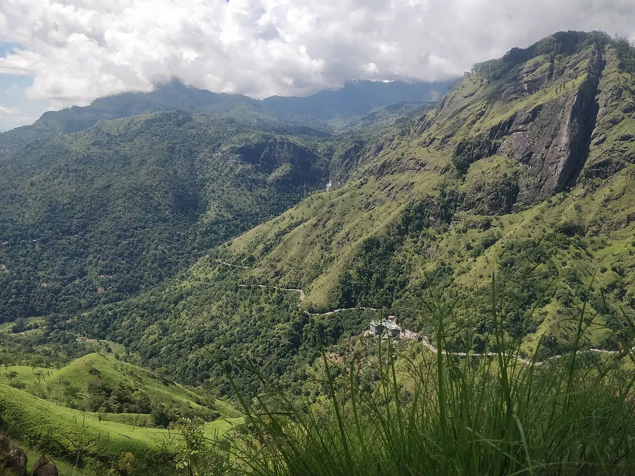
Ella, Hill Country
Ella Rock
A genuinely strenuous hike through tea plantations and forest, made harder by the fact that no official signage marks the way, leaving generations of hikers to rely on local guides and trial and error.
Ella Rock’s reputation as a must-do hike comes with a genuine catch: unlike most major hiking destinations, there’s no official trail, no consistent signage, and a route that has confused enough visitors over the years that hiring a local guide has become the practical default rather than an optional extra.
Quick Facts
| Location | About 10 km from Ella town (round trip) |
| Typical duration | 3 to 4 hours round trip |
| Route | Along the railway tracks, then through tea estates and forest |
| Difficulty | Moderate to strenuous, with a steep final ascent |
| Best time to start | Early morning, both for cooler temperatures and clearer views |
| Guide recommended | Yes, given inconsistent trail markings |
Commonly searched as: Ella Rock hike · Ella Rock trail · Ella Sri Lanka hiking · Ella Rock guide · things to do in Ella
A Hike Without a Proper Trail
Ella Rock sits roughly 10 km from town as a round trip, and the walk there is as much a part of the experience as the summit itself. Most hikers begin by walking directly along the active railway tracks out of Ella, a genuinely unusual and slightly nerve-wracking start for anyone unfamiliar with rural Sri Lankan rail etiquette, before turning off onto a path that winds through working tea estates and patches of forest. The trouble is that this turn-off, and several subsequent junctions, are inconsistently marked, if marked at all, and no single official trail authority maintains the route with the kind of signage found at more formally managed hikes like Horton Plains.
That ambiguity has turned local guides into a near-essential part of the experience for most visitors, not because the hike is technically dangerous, but because getting lost among branching estate paths and unmarked forest tracks is a genuinely common outcome for those attempting it solo without local knowledge or a downloaded GPS track from a previous hiker.
What the Climb Rewards You With
Despite the navigational challenge, Ella Rock’s popularity is well earned. The final ascent to the roughly 1,141-metre summit is steep and physically demanding, but the payoff is a sweeping panoramic view across the valley below, taking in Ella town, the patchwork of surrounding tea estates, and, on clear days, a considerably wider stretch of the southern Hill Country than the more famous but shorter Little Adam’s Peak hike offers nearby.
Ella Rock vs. Little Adam’s Peak
Visitors often ask which of Ella’s two signature hikes to prioritise if short on time. Little Adam’s Peak is shorter, easier, and better signposted, making it accessible to a wider range of fitness levels and suitable for sunrise or sunset visits without much planning. Ella Rock demands considerably more effort and navigational patience but delivers a more remote, expansive feeling summit experience, better suited to visitors with more time and a reasonable level of fitness.
Visiting Tips
- Consider hiring a local guide, arranged easily through most Ella guesthouses, to avoid the common experience of getting lost partway through.
- Start early, ideally by 6 or 7 am, both to avoid the heat and to reach the summit before afternoon cloud cover sets in.
- Wear sturdy footwear; sections of the trail are steep, uneven, and can be slippery after rain.
- Carry water and snacks, since there are no facilities along the route once you leave the town’s immediate outskirts.
Part of the Appeal Is the Uncertainty
For all the practical frustration an unmarked trail can cause, there’s a genuine argument that Ella Rock’s informality is part of what makes it memorable. In a country where several major hiking destinations, Horton Plains especially, have become heavily managed, ticketed, and increasingly crowded, Ella Rock retains a rougher, more self-directed character. Hikers who make it to the top without getting lost, or who successfully navigate a wrong turn and find their own way back on track, tend to describe the experience with a particular pride that a fully signposted trail rarely produces. Whether that trade-off is worth it depends entirely on how much a traveller values a guaranteed outcome versus a bit of genuine adventure built into an otherwise straightforward walk in the hills.
Where It Sits on the Map
Ella Rock, near Ella, Uva Province Open in Google Maps ↗
Frequently Asked Questions
Is there an official trail to Ella Rock?
No, the route is informal and inconsistently marked, which is why many visitors hire a local guide rather than attempt the hike unaided.
How long does the Ella Rock hike take?
Typically 3 to 4 hours round trip, covering roughly 10 km including the approach along the railway tracks.
How does Ella Rock compare to Little Adam’s Peak?
Ella Rock is longer, steeper, and less clearly marked, but offers a more expansive, remote-feeling summit view; Little Adam’s Peak is shorter, easier, and better suited to visitors with limited time or fitness.
Do I need a guide for Ella Rock?
It’s strongly recommended given the lack of official signage; many hikers get lost attempting the route without local knowledge.
← Sri Lanka: The Complete Guide — see all 258 places by region
Related News
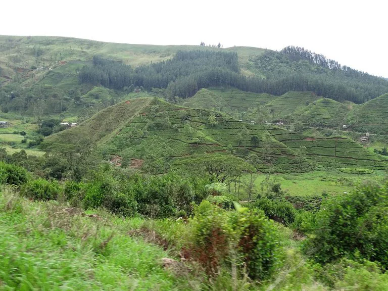
A guide to Sri Lanka's Hill Country: Kandy, tea plantations, Ella, Adam's Peak, Horton Plains, and travel tips.

A complete guide to Kandy: the last Sinhalese kingdom's fall in 1815, the Temple of the Tooth, Kandy Lake, and visiting tips.
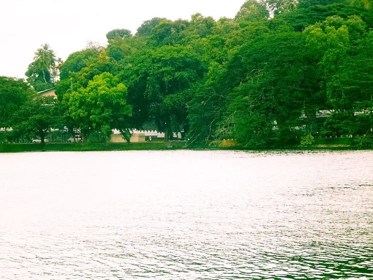
A guide to Kandy Lake, built by the last king of Kandy in 1807: its dark construction history, the island retreat, walking the shore, and...